Flood Modelling & Hydraulic Assessment
Site-specific hydraulic flood modelling where the Environment Agency's mapping isn't detailed enough — modelled flood levels, breach and overtopping analysis to support a robust FRA.
Flood Modelling & Hydraulic Assessment
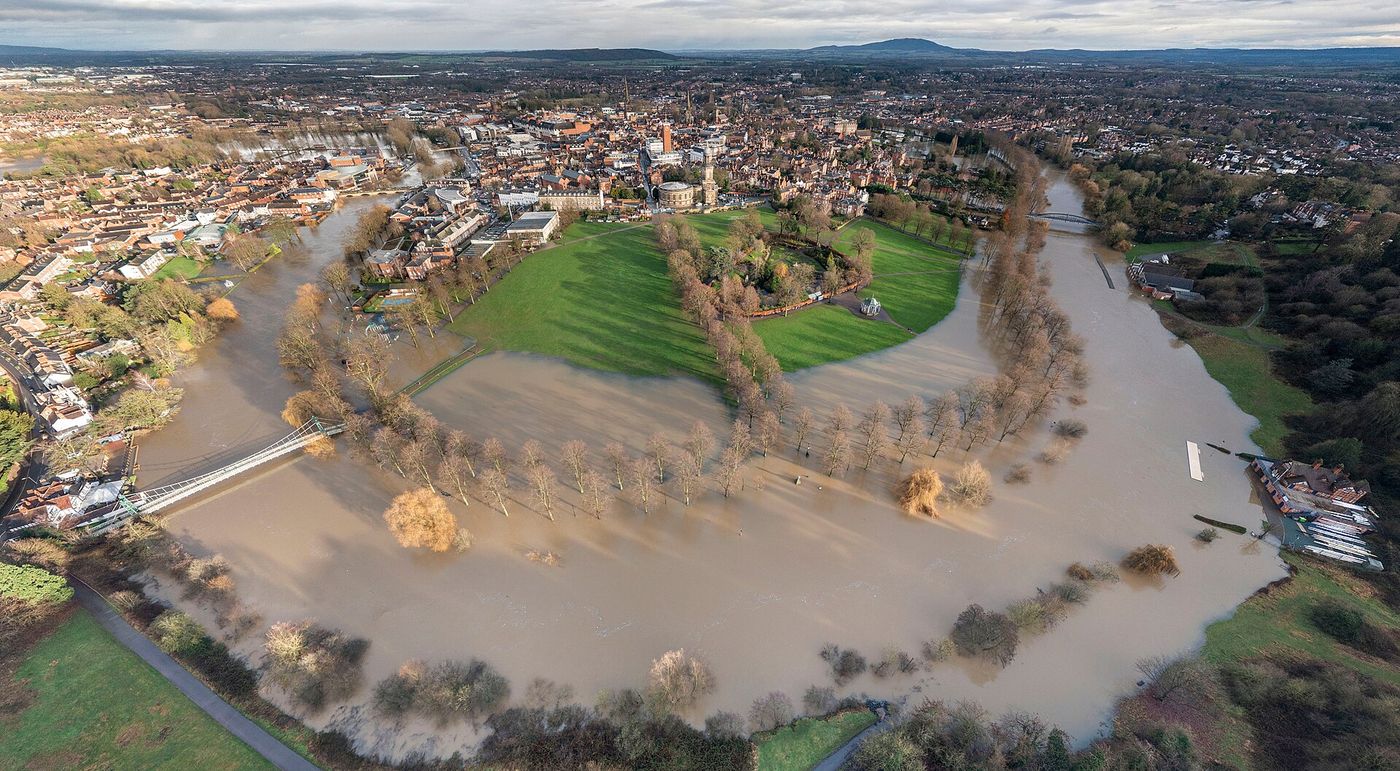
The Environment Agency's national flood maps are often too coarse for a specific site — the flood zones may be based on old or broad-scale modelling that overstates (or misses) the true risk. Site-specific hydraulic modelling establishes accurate design flood levels, extents and depths so your Flood Risk Assessment is defensible.
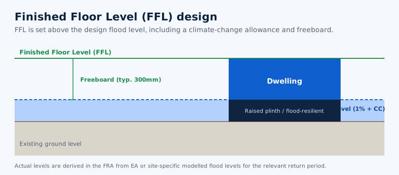
We commission and interpret 1D/2D river and surface water modelling, undertake breach and overtopping analysis behind defences, and use EA detailed modelling data (Product 4/6) where available. The outputs — modelled levels for the relevant return periods including climate change — feed directly into finished floor levels, compensatory storage and safe-access design in the FRA.
Modelling we provide
- 1D / 2D river (fluvial) modelling
- Surface water (pluvial) modelling
- Breach & overtopping analysis
- Modelled design flood levels
- Climate change allowances
- Floodplain compensation modelling
- EA Product 4 / 6 interpretation
- Finished-floor-level derivation
When flood modelling is needed
Where standard EA mapping can't answer the question, modelling provides the evidence.
EA data is too coarse
National flood-zone mapping often overstates risk. Site-specific modelling can prove a lower risk and unlock a site that looked undevelopable.
Defended sites
Where a site sits behind flood defences, breach and overtopping analysis is needed to assess residual risk and safe design levels.
Floodplain compensation
When development affects the functional floodplain, modelling quantifies the compensatory storage required to avoid increasing risk elsewhere.
Complex or high-value sites
Larger schemes, watercourse-side sites and applications facing an EA objection benefit from robust modelled evidence in the FRA.
Frequently Asked Questions
Related services: Flood Risk Assessments • Flood Zone 2 & 3 FRAs • ES Flood Chapter
Trusted by Developers, Architects & Planning Consultants
★★★★★ 5.0 from 6 Google reviews
“Antony was great to work with when we needed a Flood Risk Assessment and Emergency Flood Plan. As an architect I would definitely use FRE Consultants again… his report went a good way in helping us get planning permission on a tricky site. Highly recommended.”
“Antony carried out my Flood Risk Assessment and has done a great job. My architect commented that the report was professionally drafted and very easy to follow. I highly recommend Antony's services.”
“Antony carried out a SuDS report for one of our projects and provided an excellent service throughout — quick to respond, clear communication, and a thorough, detailed report within the agreed timescale. We will certainly be using his services on all future projects!”
“Extremely helpful, prompt and friendly service carrying out a Flood Risk Assessment for a home project that required planning permission in a flood risk area… the price was reasonable and given up-front, and the final report was highly professional and exactly as required.”
“I had an extension completed on my house and needed a Flood Risk Assessment for planning. The service received was great and at a competitive cost. We were granted planning after first submission.”
“Nice and quick service. Recommend A++”
Site risk overstated by the flood maps?
Send us the site and we'll advise whether modelling can help, with a fixed-fee quote within 24 hours.
Get a Free QuoteOr contact us directly: 07826 705389 •